
LARGE FORMAT PRINTER/PLOTTER
Large Format A1 A0 Printer Plotter for CAD, GIS
What is CAD & GIS?
The integration of GIS and computer-aided design/drafting (CAD) have operated as largely separate types of software, where CAD is used by the design, engineering, and architecture communities, although spatial relationships and components are often critical for this software.
An example of a truly integrated system, where CAD components and software concepts work with GIS data and structure is AutoCAD Map 3D. File structures in CAD, such as DWG files that store design data, can interoperate with GIS files, such as SHP files.
Overview & Products
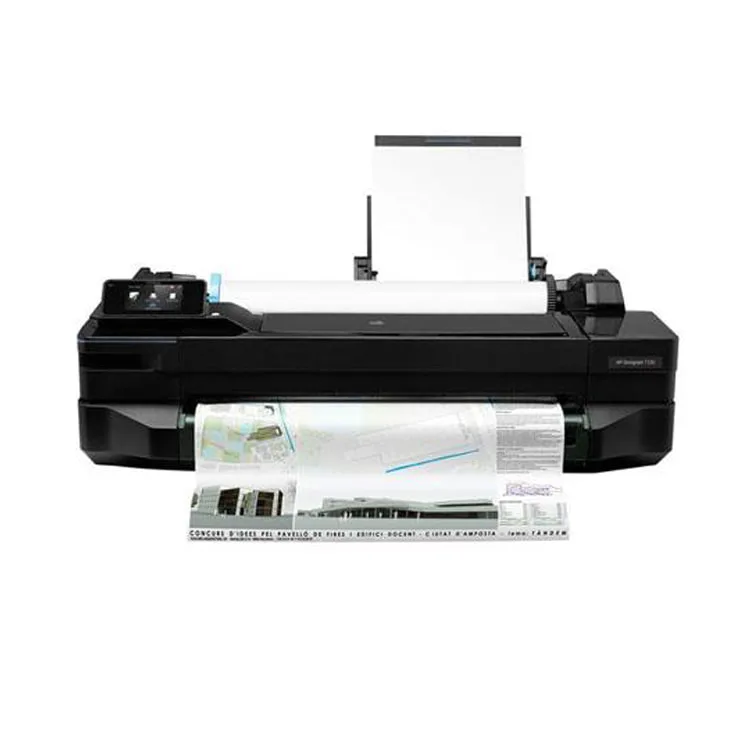
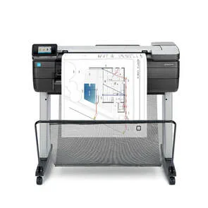
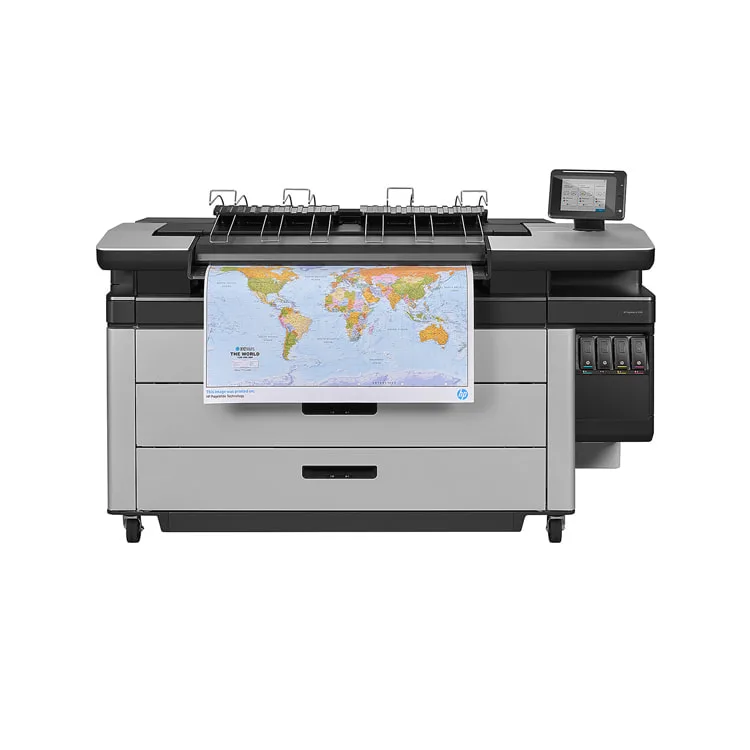
For true print flexibility and precision in the CAD/GIS market, we offer a range of devices, ranging in sizes from 24" (A1) to 44" (B0). Delivering the smoothest curves, finest lines and most precisely rendered text and graphics, these productive printers offer some of the fastest speeds in the market and integrate easily into your environment with full support for CAD applications, thanks to HP-GL/2 and HP-RTL compatibility. For advice or a demonstration call Scanext 03-78472415
Check out the range below:
The integration of GIS and computer-aided design/drafting (CAD) have operated as largely separate types of software, where CAD is used by the design, engineering, and architecture communities, although spatial relationships and components are often critical for this software.
An example of a truly integrated system, where CAD components and software concepts work with GIS data and structure is AutoCAD Map 3D. File structures in CAD, such as DWG files that store design data, can interoperate with GIS files, such as SHP files.
Overview & Products
For true print flexibility and precision in the CAD/GIS market, we offer a range of devices, ranging in sizes from 24" (A1) to 44" (B0). Delivering the smoothest curves, finest lines and most precisely rendered text and graphics, these productive printers offer some of the fastest speeds in the market and integrate easily into your environment with full support for CAD applications, thanks to HP-GL/2 and HP-RTL compatibility. For advice or a demonstration call Scanext 03-78472415
Check out the range below: